Simplifying Complexity
Simplified Intelligent Solutions was founded on a simple belief: that the power of satellite imagery and geospatial intelligence should be accessible to every organisation, not just those with deep technical expertise.
Our Mission
To democratise access to satellite intelligence across Africa, enabling organisations in every sector to make better decisions through the power of space-based monitoring, GIS analytics, and artificial intelligence. We simplify complex geospatial technology into actionable insights that drive real-world impact.
Our Vision
To be Africa's leading satellite intelligence company, where every organisation from government departments to private enterprises has the ability to see, understand, and act on what is happening across their areas of interest in near real-time. We envision a continent where data-driven decisions are the norm, not the exception.
Our Core Values
Innovation
We constantly push the boundaries of what satellite intelligence can achieve, finding new ways to solve old problems.
Precision
Every pixel matters. We deliver accurate, reliable intelligence that our clients can trust for critical decisions.
Impact
We measure success by the real-world impact our solutions create for communities, industries, and the environment.
Partnership
We work alongside our clients as long-term partners, not just vendors. Your success is our success.
Technology Stack
Satellite Imagery
Daily global coverage with 3-5m resolution for comprehensive monitoring
Esri ArcGIS
Enterprise GIS platform for spatial analysis, dashboards, and web mapping
Microsoft Azure
Cloud computing, AI/ML models, and scalable data storage infrastructure
Custom Solutions
Bespoke monitoring platforms tailored to specific industry requirements
Key Milestones
Simplified Intelligent Solutions established to bring satellite intelligence to African organisations
Became an official Esri partner, gaining access to the full ArcGIS ecosystem
Partnered with Microsoft to leverage Azure cloud and AI capabilities
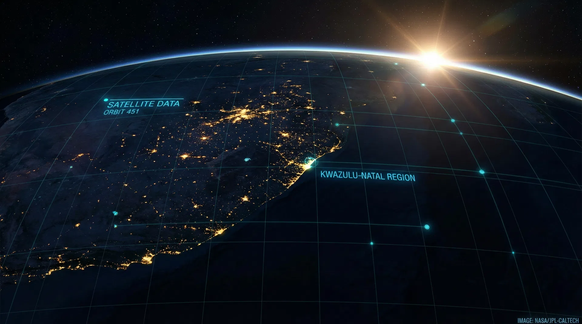
Developed and deployed the Disaster Risk Encroachment Solution for Umngeni-Uthukela Water
Expanded solutions across Agriculture, Government, Maritime, Mining, and more sectors
Let's Build Something Together
Whether you're a government department, a private enterprise, or a non-profit organisation, we'd love to explore how satellite intelligence can serve your mission.
Get in Touch