Sector-Specific Intelligence
Every industry has unique monitoring challenges. Our satellite imagery and GIS solutions are tailored to deliver the specific intelligence each sector needs.
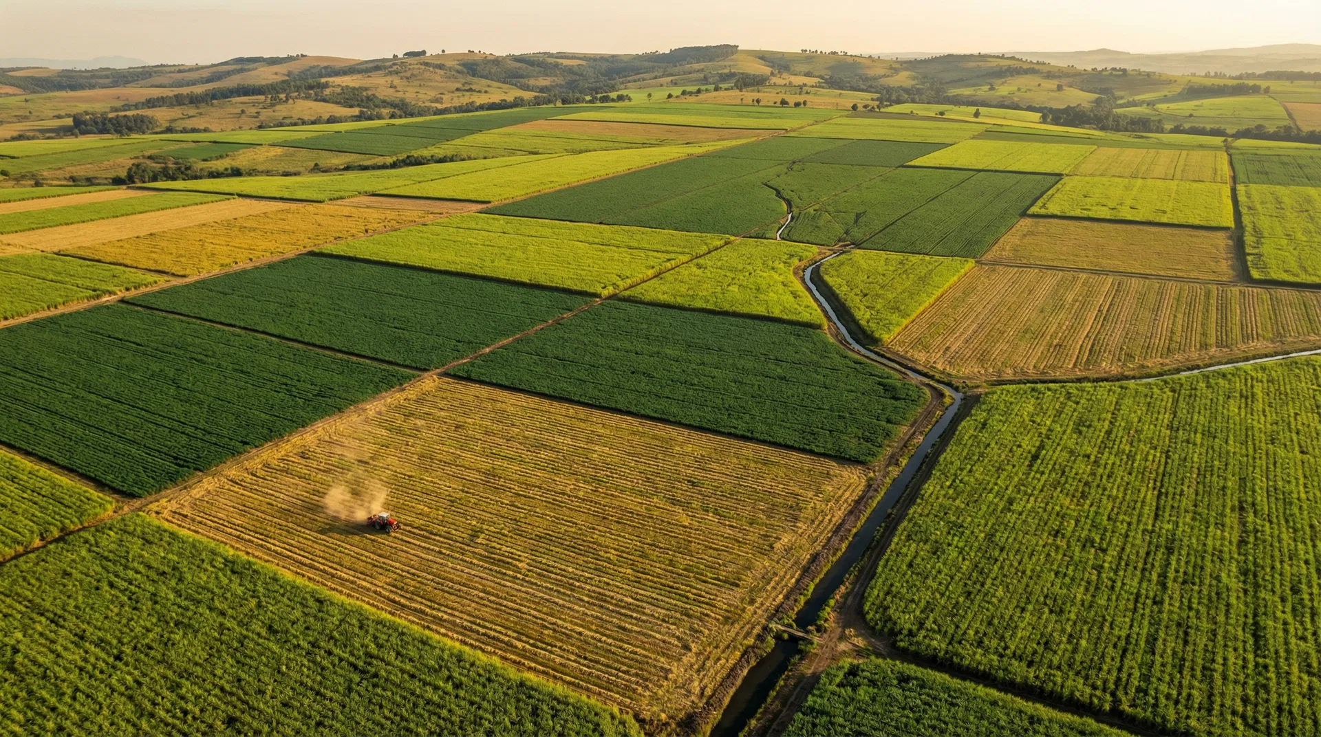
Agriculture
Transform agricultural operations with satellite-based crop monitoring, pest detection, and harvest intelligence. Our solutions help farmers and agribusinesses maximise yield while minimising input costs across sugarcane, maize, citrus, and other crops.
Pest & Disease Detection
Early detection of Eldana saccharina, Fall Armyworm, and other pests using NDVI anomaly analysis from satellite imagery.
Harvest Optimisation
Determine optimal harvest timing based on crop maturity indices, sucrose content estimation, and weather pattern analysis.
Fire Risk Management
Real-time fire detection and risk mapping to protect crops and coordinate rapid response with fire services.
Crop Health Monitoring
Weekly NDVI and vegetation health indices across entire plantations to identify stress zones before visible damage occurs.
Tongaat Hulett - Sugarcane satellite intelligence across 200,000+ hectares
Don't See Your Industry?
Satellite intelligence applies to virtually every sector. Contact us to discuss how we can tailor a solution for your specific industry needs.
Let's Talk